Apps for boating: The 9 best programmes for navigation and safety


Instead of using a chart plotter and conventional on-board instruments, many skippers are increasingly turning to smartphones and the like. The selection of apps is huge, but which programmes do skippers really need?
These are the best apps for navigation and safety
Navionics is the clear market leader in navigation programmes, but the latest edition of the C-Map app and the newcomer Orca from Norway are likely to threaten the supremacy of the boating app. We take a closer look at the twelve best applications in the navigation and safety sector:
C-Map Boating/Marine Charts

Clear chart image, Internet AIS and harbour information from Navily. The C-Map app has caught up considerably in terms of visualisation and functions. Thanks to free online maps with worldwide coverage, it is well suited for planning trips at home, although some sea areas such as Denmark are not available in full resolution for licence reasons. Owners of Navico devices can then transfer the routes to the plotter and vice versa.
Marinetraffic: OnCourse - boating & sailing

Almost everyone knows the online AIS service Marinetraffic. The on-course app can not only display AIS targets, but also transmit your own position. Important to know: The data sent via the app is only available online. As it is not transmitted via VHF, it cannot be seen by real AIS receivers. Similar functions are offered by the Boat Beacon app (iOS and Android). Boat Beacon costs 15 euros for Android and 18 euros for iOS. On Course is free of charge.
Navionics Boating

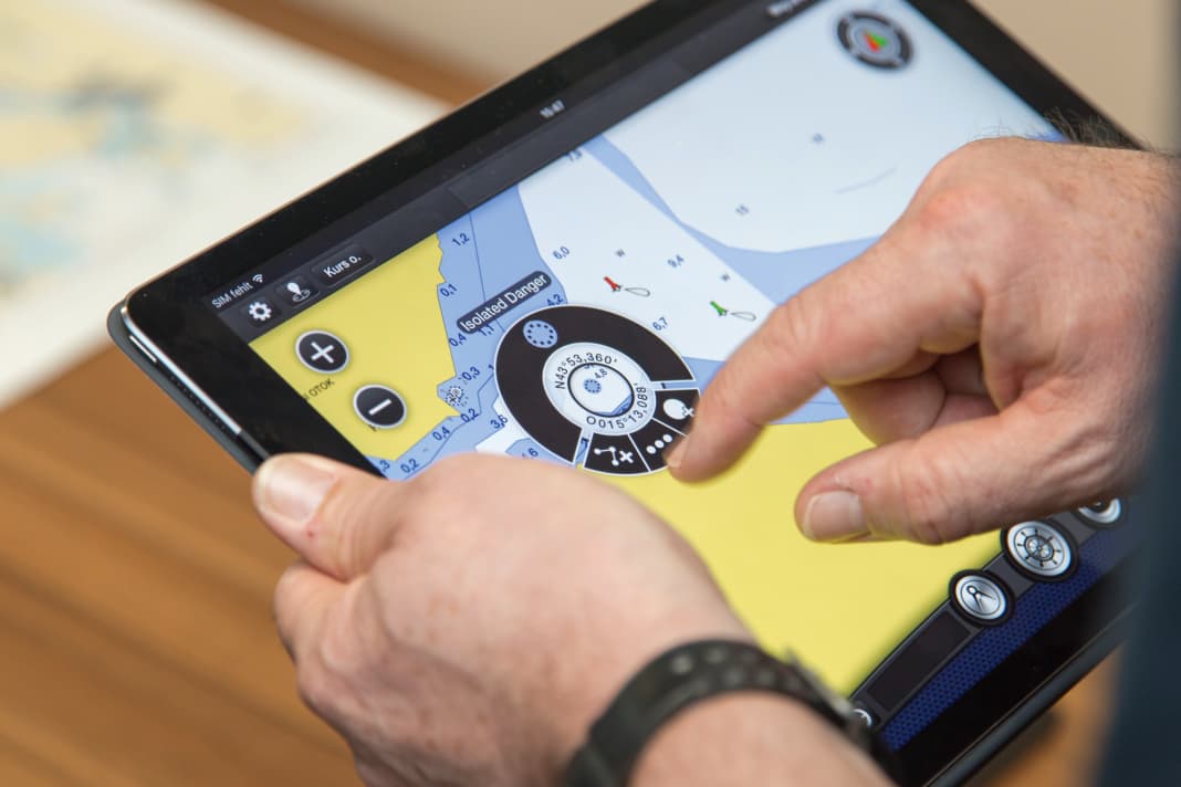
The top dog when it comes to mobile navigation. Simple operation and good map material, the autorouting works well, AIS data from an on-board receiver can also be displayed and routes can be transferred to the plotter. After the subscription expires, the loaded maps remain on the device, but are no longer updated, and autorouting and other additional functions such as the weather and satellite overlay are no longer available.
NV Charts GPS Navigation AIS

The app is particularly well positioned for the North Sea and Baltic Sea and offers a nice harbour guide. Online nautical charts can be used free of charge for trip planning. A subscription is required for navigation. If you buy the provider's paper charts, you can activate them for the app. AIS receivers and instruments can be connected via Wi-Fi. A logbook function is available.
Orca: The Marine CoPilot

The newcomer from Norway offers a very nice map display, AIS integration, autorouting including weather routing and the integration of the Navily area guide. The app is designed for use with the "Orca-Core" instrument backbox. The basic functions can also be used without additional hardware. Online nautical charts are available during the test period. Offline charts are only available in combination with the Orca hardware.
SafeTrx of the sea rescuers

The DGzRS app is designed to ensure that people can be found quickly in an emergency. The user enters the planned arrival time before departure and allows the journey to be plotted. If the arrival time is exceeded, the stored emergency contact is notified and can release the track for the rescuers. Of course, emergency calls can also be made directly. The app is available in many countries, including the Netherlands (KNRM Helpt), Norway (RS SafeTrx) and the UK (RYA Safe-Trx).
Sejl Sikkert

There are two apps under the name Sejl Sikkert, one is the Danish equivalent of the SafeTrx app and the other provides daily nautical information and a wind and current forecast. The app is only available in Danish, but the vocabulary required to use it can be quickly translated using Google Translate or Deepl, and the same applies to the nautical warnings.
Skippo (fd Eniro På Sjön)

Anyone planning to sail in Sweden should take a look at the navigation app from the Eniro search engine. It is based on the official Swedish nautical charts. Special archipelago charts and charts for Denmark, Finland and Norway can also be purchased. The basic version cannot create routes or measure distances, but the Pro version has all the more functions to offer.
Watersports

Anyone travelling in the Dutch region of Friesland needs the Watersport app, which not only helps you navigate the waterway network by displaying routes broken down by draught, but also provides up-to-date information on locks, bridges, speed restrictions and harbours. In addition, the opening of some bridges can be requested via the app, but you have to be in the vicinity of the bridge in question.

