Navigation: Shipping on the brink of a turnaround - nautical charts are becoming dynamic
Max Gasser
· 23.11.2023

In the new Interreg project "Baltic Sea e-nav", the Federal Maritime and Hydrographic Agency (BSH) is working with 14 partners from nine countries to develop the next generation of electronic nautical charts and other nautical products using the Baltic Sea as an example. These are intended to make shipping more efficient, safer and more sustainable.
To this end, the data formats and interfaces in digital ship navigation are being standardised and harmonised. "The Baltic Sea is the perfect testing ground for new applications. If we can do it here, we can do it anywhere," says Dr Mathias Jonas, Secretary General of the International Hydrographic Organisation (IHO). The project is being funded with 4.9 million euros via the European Interreg Baltic Sea Programme. By autumn 2026, it will provide the basic data for future navigation systems in shipping using the Baltic Sea as an example.
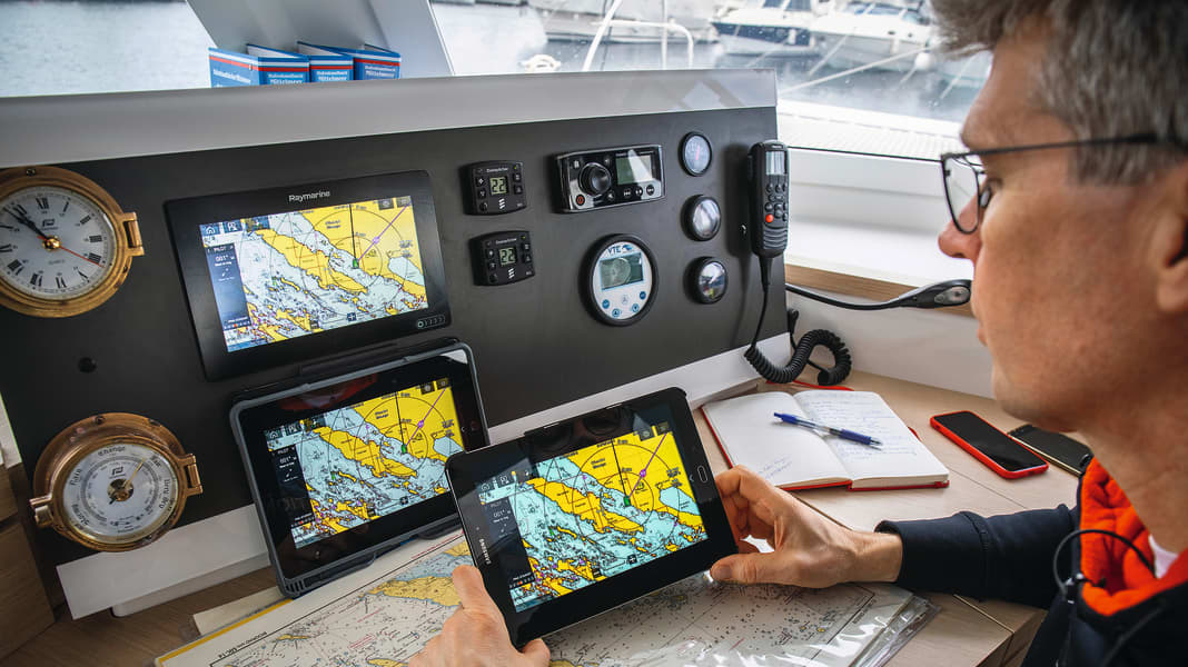
Is the nautical chart revolution also coming to recreational boating?
The plan is to provide various information adapted to the ship and situation. "For example, routes and loading can be optimised in real time, safety for people and the environment increased and environmental impact reduced," explains BSH President Helge Heegewaldt. This paves the way for increasingly automated and autonomous shipping.
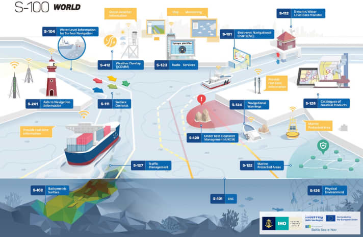
The basis for such digital products and services is a new IHO data model: the S-100 Universal Hydrographic Data Model. It enables the production of electronic nautical charts and the utilisation of various data packages. This includes, for example, information about the seabed, as well as water levels and current conditions on the surface.

The next step is to implement the international standards. This is where the new project, which was recently launched, comes in. It covers the entire process chain from product development to the distribution of navigation data to end users. In addition to hydrographic services such as the BSH, research institutes, manufacturers of navigation systems and suppliers of navigation data are therefore also involved. Even if the first step is aimed at commercial shipping, the transfer to recreational boating is also conceivable. In addition to plotter systems, routing and weather programmes and apps could also benefit greatly.
