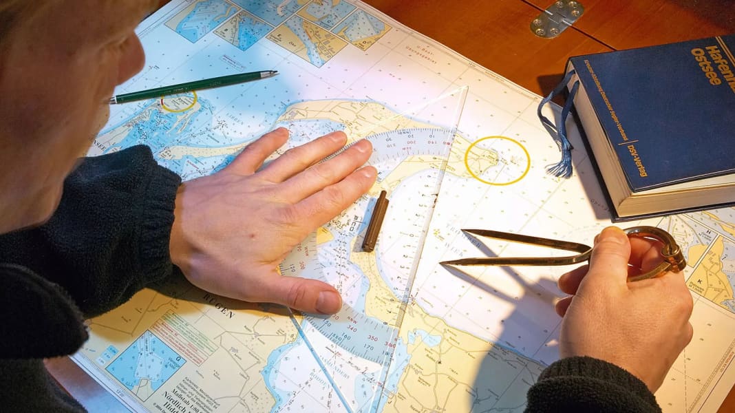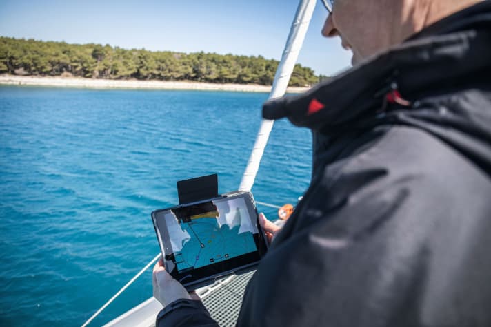
According to the UKHO, the background to this is the declining demand for paper charts, while more and more users are utilising the digital versions. "We want to be at the forefront of the digital transition and offer the best navigational aids to mariners around the world," says the agency's press release. With the discontinuation of paper charts, the focus can be placed even more strongly on the digital editions. Among other things, chart updates are possible in almost real time.
The British Admiralty Charts are to be gradually phased out, starting with the editions that are least in demand. Large-scale charts will also soon be discontinued, as these require a great deal of maintenance, according to the UKHO. By the end of 2026, only digital maps will be available. The print-on-demand service is also to be discontinued. "We are giving users sufficient time for the changeover and are offering support," the authority said in its press release.
Digital nautical charts mandatory for commercial shipping
According to the UKHO, there has been a decline in demand for paper charts in recent years, partly due to the switch to ECDIS (Electronic Chart Display and Information Systems). This digital navigation system is now prescribed for commercial shipping in the "International Convention for the Safety of Life at Sea" (SOLAS).

The German Federal Maritime and Hydrographic Agency (BSH) had already phased out the production of paper charts for international waters from 2009. Only domestic waters are still on offer. This development can also be observed in other European countries. While the busy coastal areas are also well covered by private chart providers, it could become difficult to obtain printed charts for crossings across the North and Baltic Seas or even the Atlantic in future.
However, leisure captains who do not yet want to rely on digital applications will still be able to obtain paper charts after 2026, both in the UK and in Germany. In an interview with the British sailing magazine "Yachting Monthly", the private provider Imray emphasised that it will continue to offer printed versions. "Our core clientele is leisure boating and smaller vessels, which have different needs to commercial shipping, to which the UKHO's offering is primarily aimed," said a spokesperson.
In Germany, printed nautical charts will continue to be published by the Delius Klasing Publishing House and other providers such as NV and HanseNautic. The offer is often even larger and better tailored to the sailing areas than with the state publications.
The charts of the British Admiralty are recognised worldwide as the standard for shipping. They have been published by the UK Hydrographic Office since 1795. In contrast to most national organisations, which had long concentrated on charts for their respective home waters, the British Admiralty still provides charts for the whole world.
