Navigation: Keeping an overview with AIS - what is important when operating the device
Sven M. Rutter
· 08.10.2025


- Get in touch directly
- Donor moods and status issues
- Get more out of the advert
- More overview thanks to filter functions
- Recognising approaches at an early stage
- Keeping an eye on friends
- Question the information
- Consider reach and topicality
- Do not be irritated
- Update intervals for AIS position reports
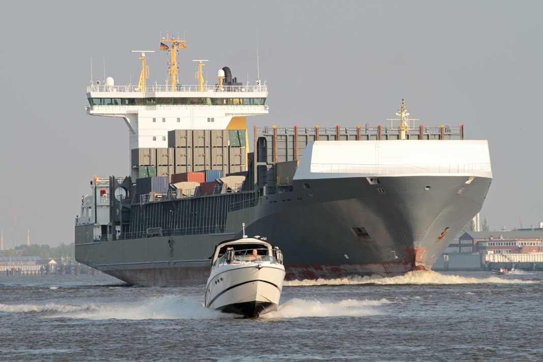
When will there finally be a gap? This question can be nerve-wracking when crossing traffic separation schemes and other busy shipping lanes. In the past, sailors used to put the lookout in the so-called crow's nest at the top of the mast for a better view - today, a similar effect can be achieved on pleasure craft with a VHF antenna if AIS signals are received via it. The automatic ship identification system (AIS) helps to maintain an overview and correctly assess situations.
That is also interesting:
In addition to crossing, this also applies when entering fairways, approaching harbours with heavy traffic, at bends and other blind spots and in reduced visibility. The detailed ship information also makes it easier to proactively avoid a dangerous approach. In addition, ships with unclear lights or radar echoes that are difficult to interpret can be checked.
The associated increase in safety and the comparative ease of use have ensured that AIS has spread rapidly in recreational boating. But AIS can do more than just conjure up a vivid "shipping cinema" on the screen. Anyone who knows how to skilfully use the wide range of information, filter and alarm functions can obtain valuable support in numerous everyday situations. As the name suggests, the primary purpose of AIS is to clearly identify ships. To this end, vessels equipped with an AIS transceiver (combined transmitter/receiver device) transmit coded messages on VHF marine radio frequencies at regular intervals. These include their name, call sign, ship type and dimensions.
Get in touch directly
The MMSI number is transmitted with every message as sender identification. This "Mobil Maritime Service Identity" can be used to contact another ship directly via DSC (Digital Selective Calling) - similar to a telephone number. If someone is threatening to come too close, you can simply call them.
If the marine radio system, AIS device and plotter are compatible and networked, such a call can be initiated with a simple click on the AIS symbol on the plotter - a great feature, especially when things need to be done quickly. Just try it out with a neighbouring yacht.
Donor moods and status issues
In addition to identification information, known as static ship data, the participating vessels also transmit their sailing data. These position reports include the current location, the sailing status as well as the course and speed over ground - usually abbreviated as COG for "course over ground" and SOG for "speed over ground".
The heading, HDG for heading, and the rate of turn, ROT for rate of turn, may also be added. Position, COG and SOG come from the Global Navigation Satellite System (GNSS) of the transmitting ship. HDG and ROT require special sensors, for example an electronic direction sensor (compass, plus gyroscope if necessary). The sailing status is usually set manually. Automatic status reporting to the AIS is only possible with complex integrated bridge systems.
However, pleasure craft rarely send information on HDG and ROT due to the lack of appropriate transducers. And such transducers are not always correctly calibrated on yachts. Their data should therefore be treated with caution. An adjustment of the sailing status is also not provided on all pleasure craft.
Instead, they often send the status code 15: "undefined" by default. Sometimes a different sailing status is also preset, for example code 0: "under way using engine". It is possible that the cruising sailing yacht is nevertheless travelling under sail, which would then correspond to code 8.
The transmission interval of the position reports depends on the manoeuvring speed. Very fast manoeuvring ships over 23 knots send an update every two seconds (Class A), anchor ships every three minutes. Static ship data is only transmitted every six minutes, as is voyage-related data (port of destination, draught and similar).
Therefore, sometimes only the MMSI number appears next to AIS symbols - so far only a position report has been received from these targets, but no ship name.
Get more out of the advert


Typically, AIS targets are displayed as small triangles on plotters and multifunction displays (MFDs). With some systems, the AIS settings can also be used to select an extended symbolisation that takes into account the different types of vessel. This is a nice feature that makes it possible to distinguish between sailing, cargo and passenger ships at a glance. However, not all of these symbols are self-explanatory. For example, on a Raymarine Axiom display, the rescue services (SAR) are shown as an aeroplane.
In this extended display, some systems also adapt the symbol size to the reported dimensions. There are also special symbols for navigational aids with AIS, so-called AIS AtoNs (Aids to Navigation), and active AIS distress transmitters (SARTs = Search and Rescue Transmitter, usually a cross in a circle). You should also be familiar with these.
It is very helpful to display an advance vector on the ship symbols, which most systems support. As a rule, a COG vector is displayed by default. The length of the vector depends on the speed of the target, whereby the time projection can be set on many systems. The vector then shows where the target is likely to be after the preset time period - for example three, six or twelve minutes - has elapsed. This allows the projection to be adjusted as required (zoom level, distance to the target).
Some systems also provide an HDG vector. Put simply, this shows the direction in which the bow of the ship in question is pointing. For example, the AIS symbol of a large container ship in the German Bight displays a COG vector pointing south-east, while the HDG vector points east. The freighter obviously has to keep ahead against the setting tidal current (HDG) in order to maintain the desired course over ground (COG).
However, a difference can also indicate an imminent change of course: The vessel in question has already set a new course while it is still heading in the old direction over ground. An HDG vector therefore facilitates a forward-looking traffic assessment. The HDG value can also be found in the detailed view of a target's AIS data.
If both vectors can be displayed, they are usually coloured differently or one is displayed solid and the other dashed. A tick at the end of the course vector indicates the direction of rotation based on the ROT value sent.
More overview thanks to filter functions


In areas with a lot of traffic, it can pay off to hide certain targets. This applies in particular to static targets that do not move or only move very slowly (drifting, swaying). This can improve visibility when approaching a harbour, for example. Why identify each vehicle at its berth?
AIS AtoNs also generally represent static targets. Physical and synthetic AtoNs refer to real navigation marks that can also be avoided by sight. The AIS data reveals their meaning and whether the sea mark is still at its chart position. The situation is different with virtual AtoNs for which there is no real navigation mark. These can be used, for example, to quickly mark new danger spots such as drifting containers. Depending on the system, they can be recognised by a special symbol.
There are also filters to display only dangerous or manually marked targets. This allows you to prioritise accordingly. Just don't forget to reset the setting. The same applies to range filters. These can be used to focus the display on targets in your own immediate vicinity.
Recognising approaches at an early stage
Most systems also calculate important approach parameters, taking into account the movement data of your own pleasure craft. These include, in particular, the closest point of approach (CPA): this is how close we will come to the other vessel if both vessels maintain their course and speed. This minimum distance is generally specified in nautical miles - for values less than one mile in cable lengths or feet, depending on the system. If no CPA is displayed for a destination, we are moving away from each other.
Collision alarm and overlay


The CPA can be used to estimate well in advance whether a dangerous close-range situation with another ship is imminent. The TCPA ("Time to Closest Point of Approach") indicates the remaining reaction time until the minimum distance (CPA) is reached. This in turn makes it possible to set appropriate priorities: Which target comes into close range first?
With a very small CPA and very short TCPA, all alarm bells should ring. It is often possible to programme an alarm on the device side. A minimum safety distance in nautical miles and a minimum response time in minutes until this distance is undershot are preselected. This means you don't have to stare mesmerised at the screen the whole time.
Many systems also offer a so-called target list, in which the AIS targets are listed in a table. This view can often be sorted according to various parameters such as distance, CPA or TCPA, which also helps with situational categorisation.
Keeping an eye on friends
Some people also use the proximity alarm when anchoring to be warned if a neighbouring boat with a slipping anchor is drifting towards their own yacht. Of course, this only works if the neighbour keeps their AIS transceiver switched on. The buddy or tracking function can be used to keep an eye on colleagues at all times during a flotilla cruise. The target is marked manually and then highlighted on the screen.
On some devices, an individual name (e.g. of the skipper) can also be assigned. The function also helps to highlight targets that stand out due to constant course changes or other unclear behaviour. It can also be used to mark vessels with which contact has already been made and an agreement reached.
Question the information
Unfortunately, the AIS does not provide a complete overview of the traffic situation. The installation of an AIS transceiver is only mandatory for cargo ships with a gross tonnage (GT) of 300 or more on international voyages (500 GT or more on national voyages) and for passenger ships. For smaller freighters, fishermen and pleasure craft, participation remains voluntary.
Warnings and special characters


In addition, it is not always clear whether the data sent by other ships is correct. In this regard, it is worth taking another look at the detailed data of a target, where there is often also an indication of position accuracy - for example "high" (high) or "low" (low). It refers to the so-called "Expected RAIM Error" (RAIM = Receiver Autonomous Integrity Monitoring). This is a kind of self-assessment by the satellite navigation system of the transmitting vessel.
Similar to the DOP value (DOP = Dilution of Precision), the number and also the distribution of the currently analysed satellites play a decisive role here. Accordingly, the accuracy can vary from transmitter to transmitter. In addition, an unfavourable GNSS antenna position, shadowing by elevations or other vehicles as well as atmospheric and other interference can affect the position accuracy.
Consider reach and topicality
As with VHF marine radio, the range of AIS depends crucially on the antenna height. Boats with a low aerial therefore often only appear on the display once they are a certain distance away. Vehicles that were not previously on the screen can therefore still join the surrounding traffic.
Another sticking point is the up-to-dateness of the data received: The location displayed on the screen always corresponds to the last reported position. Sometimes, however, the target has already moved on. For example, pleasure craft with older Class B CS transceivers only update their position every 30 seconds. A fast motorboat can cover several hundred metres in this time.
Modern Class B SO transceivers provide for shorter update intervals of 15 or even 5 seconds for fast pleasure craft - but only up to a certain traffic density. To be on the safe side, it helps to take a look at the detailed data, which should contain information on the type of AIS transceiver and the time of the last transmission. For critical targets, it is also advisable to switch on the permanent display of their course and speed data on the device.
The timeliness of AIS data from the Internet should be scrutinised particularly critically. In addition, in this case the detection of a vessel depends on its distance to the nearest land station and not on its distance to your own boat.
Do not be irritated
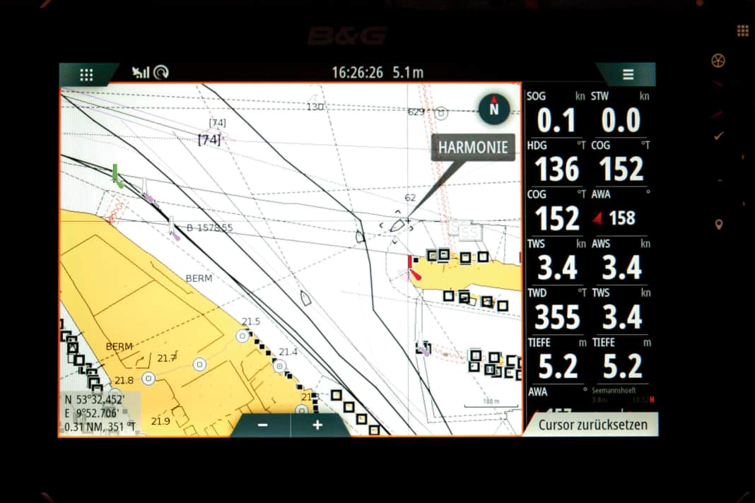
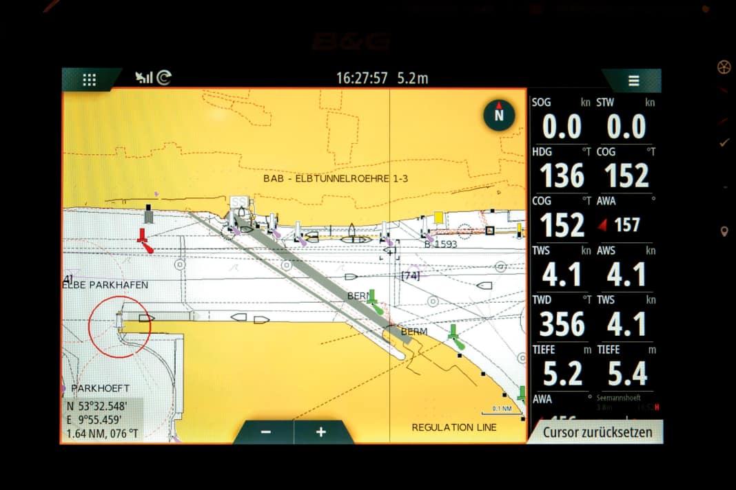
Anyone who uses the AIS intensively will come across oddities from time to time. If, for example, the AIS symbol of a freighter with the driving status "underway under engine" remains in the same spot, the status code has probably been forgotten to be adjusted. Even if no movement vector is displayed despite an active travelling status, the vehicle is probably stuck. "Dancing" COG values are also not uncommon with stationary vehicles.
If the target on the screen is halfway down the pier or across the quay, the antenna reference position may not have been programmed correctly. If the GNSS antenna is not at the position on deck stored in the AIS transceiver, the target symbol will also be offset accordingly. Another conceivable cause would be a GNSS-side storage - i.e. a position error due to limited accuracy.
Fluctuating GNSS accuracy can also lead to an AIS target unexpectedly jumping to a different location without the reported course and speed data indicating this. Similar jumps can occur if the AIS has been deactivated in the meantime - for example due to a defect or operating error.
Such capers do not occur with radar image analysis and attentive traffic observation by sight. Both therefore remain indispensable - but AIS is a wonderful addition that is worth using.
Update intervals for AIS position reports
Class A transceiver (shipping requiring equipment)
- Ships at anchor or moored: 3 minutes (> 3 kn: 10 seconds [e.g. drifting])
- Speed up to 14 knots: 10 seconds
- Speed up to 14 knots when changing course: 3.3 seconds
- Speed 14 to 23 knots: 6 seconds
- Speed 14 to 23 knots when changing course: 2 seconds
- Speed > 23 knots: 2 seconds
Class B transceivers (pleasure craft and other smaller vehicles)
- Speed up to 2 knots (Class B CS [Class B transceiver with CSTDMA process] + Class B SO [Class B transceiver with SOTDMA process]): 3 minutes
- Speed from 2 to 14 knots (for Class B CS without upper limit): 30 seconds
- Speed from 14 to 23 knots (Class B SO only): 15 seconds (30 seconds in heavy traffic)
- Speed > 23 knots (Class B SO only): 5 seconds (15 seconds in heavy traffic)

