Scandinavia: Cruise planning - Skippo online portal with free nautical charts
Hauke Schmidt
· 05.11.2024


If you want to plan your summer trip at home, you don't always have all the nautical charts to hand. That's why online services such as the web app from Garmin (formerly Navionics) or the Cmap-Explorer practical. Unfortunately, Danish sea areas are not available from all providers. In the past, the Swedish chart service Eniro filled this gap. However, the company has withdrawn from the nautical chart segment and sold this business area to the Skippo portal. As a result, the Danish nautical charts have also disappeared from the website. What's more, Skippo's free navigation app also only displays Danish data in conjunction with a subscription.
The trick with the Danish cards
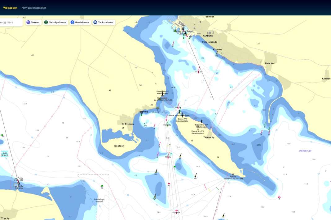
But there is a trick: if you call up the Danish version instead of the Swedish website and select the web app there, you will be shown the Danish and Finnish waters in full resolution and with all the nautical information. The data is not necessarily up to date and should not be used for navigation. However, this does not play a major role in trip planning. Unfortunately, the functionality of the free web app is very limited. Unlike the service previously offered by Eniro, it is not possible to create routes or measure distances. However, this also applies to the free versions of Garmin or Cmap.
National pricing models
If you want to use the navigation functions, you have to take out a paid subscription. The prices depend on the country version. In Sweden, the basic version currently costs 199 Swedish kronor per year, plus 349 Swedish kronor for the Danish nautical charts. If you choose a Danish subscription, you pay at least 299 Danish kroner, but have to pay an extra 99 Danish kroner for Swedish and Finnish waters.
