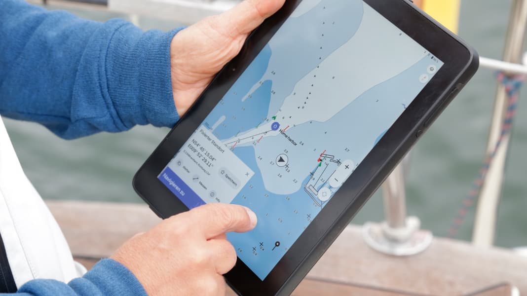
It is unclear to what extent the reception interference will have an impact on the ground and therefore also on recreational boaters and sailors. Following the conspicuous GPS interference along the eastern border of Finland, there have also been problems in the Baltic States and between Denmark, Poland and Sweden for months.
In addition to the official warnings from traffic and communication authorities primarily documents the website www.gpsjam.org the recurring disruptions to satellite navigation. The operator of gpsjam analyses the publicly available interference reports from aircraft and ships and uses them to create maps. Since mid-December, major disruptions have been recognisable on these maps, ranging from the south coast of Sweden via Poland to Mecklenburg-Western Pomerania and Denmark. No official statement has yet been made on the possible causes of the disruptions. However, it is assumed that the interference signals are due to military activities in Kaliningrad.

Back in March 2020, the Finnish Transport and Communications Authority reported Traficom an accumulation of disruptions to the GPS navigation system and issued a warning to air traffic. Another incident occurred in October 2022, when two Molslinjen fast ferries lost their GPS position, as reported by the Danish television station TV2 Øst. It later emerged that at least six other ships within a radius of around 30 kilometres were affected and that a Russian warship was sailing in the waters with its AIS transponder switched off at the time of the failure.
Interference in satellite reception is nothing unusual and can also be caused by strong solar activity, for example. In this case, however, flights near the Russian border were conspicuously often affected. Similar interference was reported from the airspace around Kaliningrad. And they have been occurring for some time around the war zones in Syria. In view of Putin's war against Ukraine, these incidents are not surprising, but they highlight a general problem with satellite-based navigation: the systems can be disrupted, and with comparatively simple means, as the signal is relatively weak and not even encrypted for civilian use.
Disruption made easy
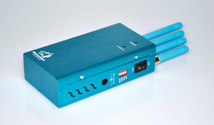
The simplest variant is known as jamming. In this case, the satellite signal is drowned out, so to speak, by a jammer. The navigation device only receives strong noise and can no longer filter out the correct satellite signal. The effect on the device is the same as if the satellite signal were being shielded, so the receivers also display a weak signal strength or lose contact with the satellite completely. If the receiver is located in the interference transmitter's border area, position errors of several hundred metres and sudden changes in the speed display can also occur. At least that is what an investigation supported by the Norwegian Navy has shown.
Such jammers are comparatively simple in design and, although banned, can be ordered online for around 150 euros. The simplest models are plugged into the car's cigarette lighter and are designed to prevent the car from being tracked. Even though these transmitters have little power and correspondingly little range, there are sometimes side effects. For example, they are said to be popular among London taxi drivers to prevent the automatic recording of working hours. They also sometimes interfere with cash machines. This is because they use the GPS signal to synchronise the time of transactions. This problem already occurred in 2007 during a naval exercise off San Diego. There, the GPS signal was deliberately disrupted - with the result that the ATMs on land and the doctors' emergency pagers also failed.

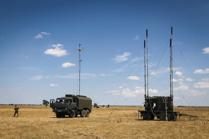
The range of the jammers depends on the transmission power and their position. As long as they are on the air from the ground, civilian jammers barely reach more than two kilometres. Much larger areas can be jammed from aeroplanes or even satellites; what military systems such as the Russian "Zhitel" are capable of can only be surmised. Reliable information is virtually impossible to find, including information on exactly which systems could be used. It is estimated that "Zhitel" can jam GPS signals within a radius of 20 to 30 kilometres. OSCE reports show that such jammers have been sighted in eastern Ukraine since 2015.

More satellites hardly provide more security
Most current satellite navigators now use both the American GPS and the Russian Glonass, as well as the Chinese Beidou and Galileo in some cases. As long as no interference transmitters are in operation, the combination of systems ensures greater positioning accuracy as more satellites can be analysed. The use of different systems also promises protection against a provider being switched off or the signals being deliberately falsified. However, all systems are susceptible to jamming. Glonass is a little more robust in theory, but can also be easily jammed. In addition, civilian use should simply be deactivated in the event of deliberate navigation interference.
Generating fake signals, known as spoofing, is technically more sophisticated than simply drowning out the satellites. In this process, the jammer tricks the navigation device into believing it has artificial satellites with very good signal strength. The perfidious thing about this is that the user can hardly recognise that the receiver has switched to the artificial satellites, as positions continue to be calculated. However, the attacker can practically control the navigation device remotely and steer it off course. The University of Texas demonstrated how this can work in practice back in 2013 using a mega yacht in the Mediterranean. According to reports, falsified GPS displays also occurred in 2017 during the nearby Russian military exercise "Zapad" in northern Norway and Finland.
The return of terrestrial navigation
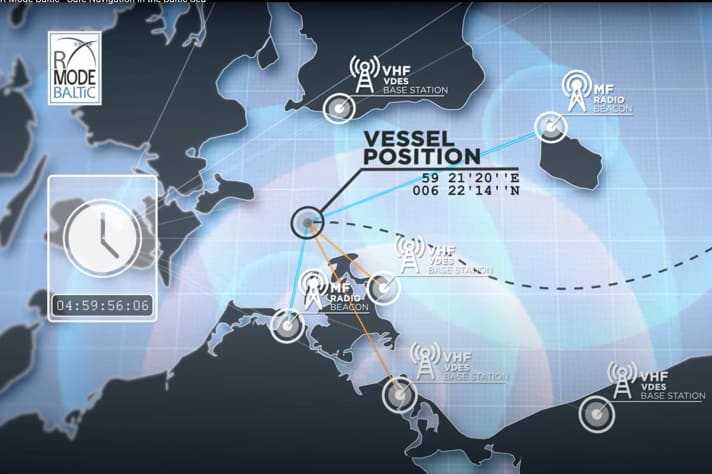
The risk of interference with satellite-based navigation systems has been discussed for years, and not just in the maritime sector. The German Aerospace Centre (DLR), among others, is involved in the search for alternatives. Together with partners from Norway, Poland and Sweden, a pilot test of the so-called range mode, or R-mode system, was carried out in the Baltic Sea from 2017 to 2021. The idea behind it: Existing, land-based correction transmitters for the DGPS system and AIS ground stations are equipped with additional technology so that a signal for range measurement is transmitted. At the same time, the ships will be equipped with corresponding receiver systems for evaluation. Depending on the frequency range, it should be possible to achieve ranges of between 40 and 300 kilometres. To determine its position, the ship must be able to receive at least four transmitting stations simultaneously, which, according to the study, is not a major problem on the main shipping routes in the Baltic Sea.

The positioning accuracy determined in the tests was between 10 and 60 metres and depends on weather conditions and the time of year, among other things. However, it is unclear when an R-mode system could be used for navigation. In addition to the technical implementation, there are bureaucratic hurdles. The DGPS and VHF transmitters used are part of the internationally standardised navigation infrastructure. Any modification or expansion of the systems must be approved by the IMO and IALA shipping and aviation organisations. This is a complicated and lengthy process, which is why it is assumed that the standards will not be finalised until 2027 at the earliest. The development of the system could then begin.
Russia itself is also focussing on terrestrial technology. "Chayka", "Seagull", is the name of the Russian Loran derivative. The radio navigation system is to be available on large parts of the Baltic Sea, in the west of Russia as far as Moscow and on the Black Sea. Suitable receivers, which are also compatible with the American eLoran, are provided by the Dutch company Reelectronica here. However, the last updates to the company website date back to 2017 and, according to a report by the Russian news agency Tass, a successor system called "Sprut-N1" is already available to the military.
For skippers, on the other hand, there is only the good old sextant - or possibly terrestrial navigation with binoculars, compass, nautical chart and cutlery.
Downloads:
- Navigation: Stargazing (pdf), for subscribers only
- Navigation: Sea chart systems (pdf), for subscribers only

