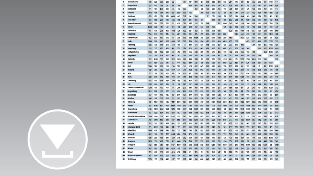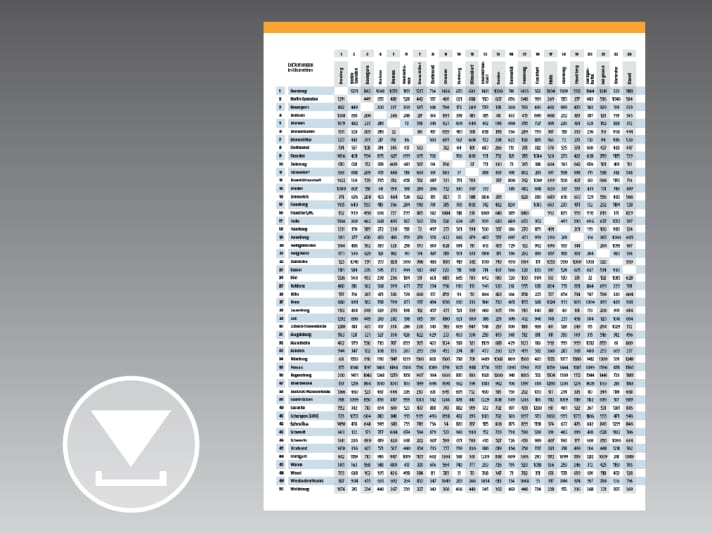

Smoked beer in Bamberg and currywurst in Wolfsburg - of course you can combine these two famous culinary specialities with a cruise. But how far is it from lovely Upper Franconia to the North German Plain? By boat, mind you! You guessed it: Main, Rhine, Mittelland Canal - that's quite a distance. Our current distance table on the following double page tells you exactly how many kilometres it is: 1076.
Of course, this can hardly shake a real touring skipper. Especially as you can cover much longer distances by water within Germany. If you start in Passau and want to explore the Baltic Sea from Sassnitz (on Rügen), you even have an impressive 1907 kilometres ahead of you. For comparison: Down the Danube to the Black Sea would only be 300 kilometres more... The waterway network criss-crosses the country, and whether it's a short trip or a long journey, there's an overview of the distances at a glance.
