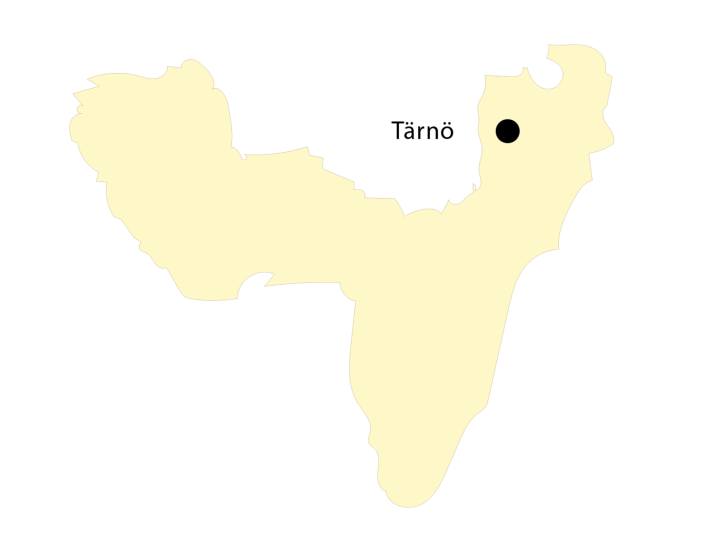


It is difficult to choose one of the countless Swedish archipelagos as the most beautiful. Until you discover Tärnö. This rocky island in the sea is a true Swedish idyll straight out of a picture book. Nevertheless, many crews sail past it on their way to Stockholm and prefer to stop on the exposed island of Utklippan. Or they head for the larger archipelago off Karlskrona, which lies to the north-west. Tärnö, on the other hand, is located further west, just three miles from Karlshamn.
The island, which was once inhabited and farmed by several families, is now privately owned. It comes to life mainly during the summer, when those who have moved away return to their holiday homes and day trippers and yachties visit. There is also an upmarket campsite on the archipelago.
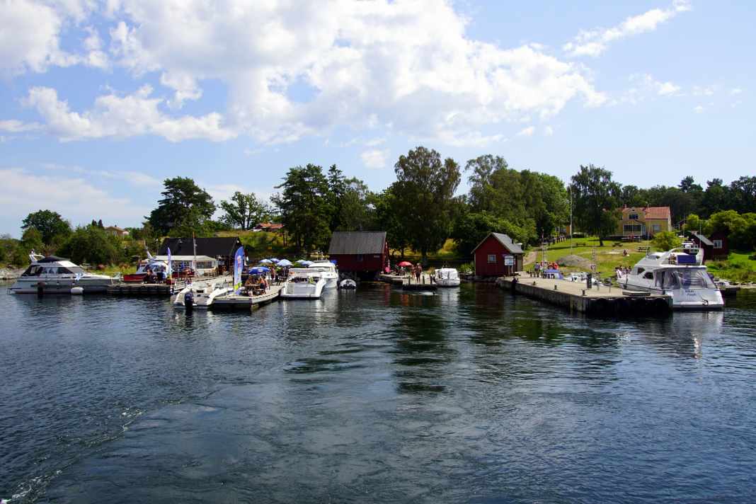
Skippers head for the north side of the island, where there is a well-protected natural bay. In the shallow and crystal-clear water, you might think you're constantly running aground, but don't worry, it's deep enough. If you don't want to anchor, you can go to the municipal jetty on the east side or to the south-west next to the ferry landing stage. There you will find an ice cream parlour and the obligatory simple island restaurant. The menu here includes specialities such as waffles filled with fish. And of course there are lovely barbecue areas.
A few of the typical red and white painted wooden houses are scattered on land. In between are granite humps and a little forest. Paddlers and a few fishing boats can be spotted along the shoreline - nothing more. Simply marvellous!

Position
56° 07' 16'' N, 014°58' 32'' E
Size
approx. 1 x 0.7 nautical miles
Inhabitants
Only in summer
Harbours & bays
The large harbour bay in the north of the island is also an excellent anchorage that offers good protection from west to south to east. The long, municipal jetty on the east side can be used for a fee, as can places near the ferry jetty in the south-west. The south and parts of the east of the island are a nature reserve and are not suitable for anchoring.
Tips
The circular walk around the island is a must. It's over after two hours at the latest, but they are worth their weight in gold. The small lighthouse in the south is the destination. Information about the island at naturkartan.se (search term: Tärnö).
