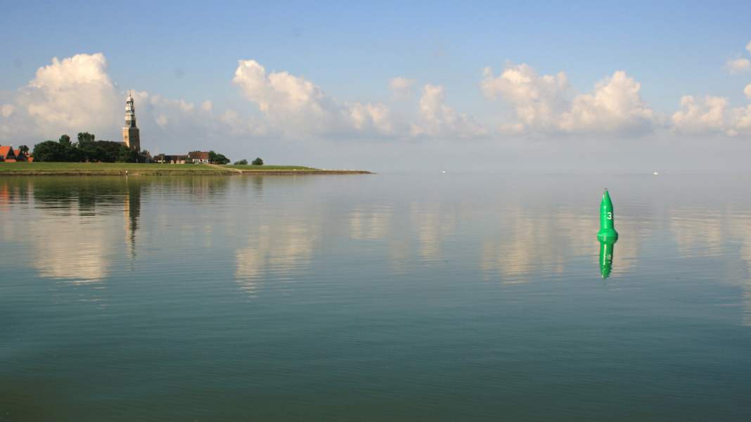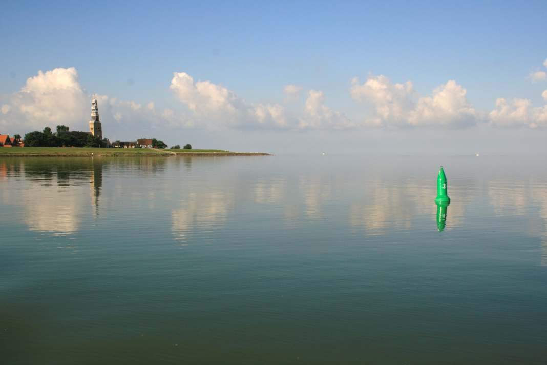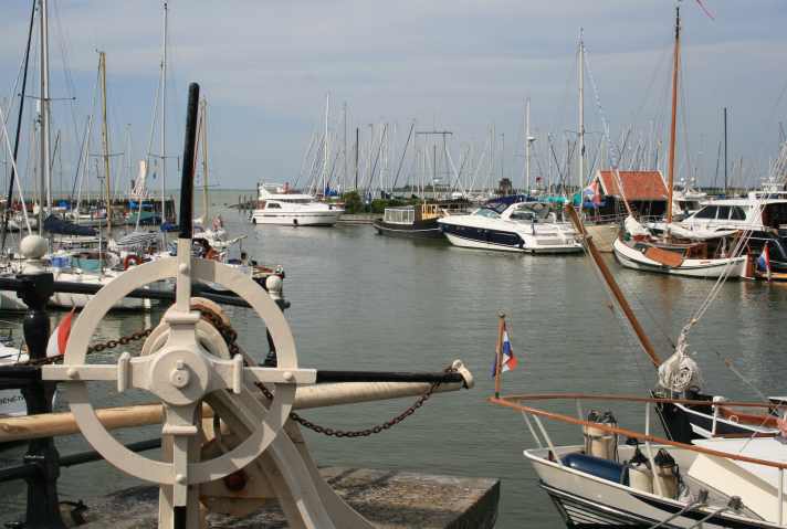

We yearn for its vastness and the self-determination it promises us. If its nature were consistently gentle and its demands on us not so categorical, we would love it unconditionally: the sea. But does it have to be this wildness to feel freedom? Isn't the hint of adventure enough to leave everyday life behind for a while? Just a little bit of the sea, captivating, but suitable for a holiday.


The IJsselmeer is one such body of water. In some ways, it is as impetuous as its ancestor, the open sea. Despite everything, the IJsselmeer is just what the Dutch call a "sea": an inland lake. We took its eastern shore under our keel. We came across a perfectly developed water sports infrastructure and traces of a rough past.

The tideless IJsselmeer stretches between the Afsluitdijk in the north-west and the Houtribdijk in the south-west. North Holland borders it to the west, Friesland to the east. To the south of the Frisian coast are the shores of the north-east and Flevoland polders. The surface area of the IJsselmeer is almost twice as large as that of Lake Constance. However, while Lake Constance drops to a maximum depth of around 250 metres, the IJsselmeer has a maximum depth of around 5 metres (NAP).
The shallow water depth creates a rough swell in corresponding weather conditions, the notorious "IJsselmeer wave". The short and steep waves can quickly become dangerous for boats that are not seaworthy. The Wateralmanak 1 constantly warns: "Op het IJsselmeer kann het spoken" - The IJsselmeer can be haunted. This refers to the unpredictability of the area, which demands respect.

The weather on the IJsselmeer can change at an astonishing pace. Thunderstorms are violent and are often accompanied by squalls. Sudden fog is another phenomenon. The wind blows only slightly weaker over the IJsselmeer than over the neighbouring Wadden Islands. During the summer months, it often comes from westerly to southerly directions. Anyone sailing along the east coast of the IJsselmeer will therefore regularly find themselves downwind and must beware of leeward winds.
The numerous shallows off the east coast require special attention. Rough seas build up here in onshore winds. The risk of running aground in the swell and being flattened should not be underestimated. However, as the danger spots are comprehensively buoyed, safe navigation is not a problem. The approaches to the marinas are also adequately marked.

All the harbours on the east coast are within a moderate distance of each other - good to know if it starts to "speak" on the IJsselmeer. The supply options are optimal and the towns are all worth a visit.
That too is the IJsselmeer: deep blue skies and sunlight sparkling in the bow wave, sea air and the cries of seagulls, vastness that opens up the view and gives a sense of freedom - pure enjoyment. Life wasn't always this easy here.
They were looked down upon, even though they were just poor wretches. Sheer hardship had made them tough and the defence against an attacker who constantly lurked around them. We are talking about the Shoklanders and their fight against the sea. Schokland was an island located a few nautical miles south-east of Urk in the Zuiderzee, today's IJsselmeer.
In the end, Schokland measured barely more than 4 km in length and a few hundred metres in width, a narrow strip of land, more marshy than solid in the west. The people had retreated further east to self-built earth mounds, so-called terps. When the water came, it quickly flooded the marshy shore edge, rose up to the mounds and hit the piles that had been driven into the ground to reinforce the mounds and their buildings.
In February 1825, Schokland is overwhelmed by an exceptionally severe storm surge. People die and the damage is immense. The 700 or so inhabitants of Schokland are unable to recover from this catastrophe. Most of them are already at the end of their tether due to a lack of income opportunities, hunger and disease. Money begins to be collected for the Schoklanders. The state finances the protection of the island. Pointless, say critics.
In 1859, the Dutch king orders the evacuation of the island. However, it is not the sea that wins the victory over Schokland. With the completion of the Afsluitdijk in 1932, the open Zuiderzee to the IJsselmeer is pacified. Four years later, construction of the north-east polder begins. What was left of Schokland came to lie within the ring dike and fell dry in 1942 when the water was pumped out.
If you look across the north-east polder today, you will recognise an elongated, barely perceptible elevation in the flat terrain - Schokland. Bushes mark the former course of the shore, and a hiking and cycle path follows it. One of the last housing estates on the island, Middelbuurt, is home to the Schokland Museum
Schokland (www.schokland.nl). From here you can explore the former island, a UNESCO World Heritage Site since 1995.
A worthwhile destination that we can easily reach from our berth in the Schokkerstrand marina: by bike. It's a quick 5 km ride to the museum. The Schokkerstrand marina on the northern shore of the Ketelmeer is a well-kept and pleasant facility. It has a bathing beach and restaurant. The whole expanse of the north-east polder stretches inland.
The Ketelmeer is not yet the IJsselmeer, of course. It is only north-west of the Ketelbrug that our journey formally begins. In ancient times, there was only one body of water that set the pace of life here: the Zuiderzee, a powerful force that attacked Schok-land and another island nearby - Urk.
Unlike Schokland, Urk has a pronounced, natural mound to which the islanders could save themselves at high tide. They built their houses up there after the Zuiderzee had also washed away the last low-lying areas of Urk. In 1844, the island was given its distinctive landmark, the lighthouse. Since the draining of the north-east polder in 1942, Urk is no longer an island either.
But while Schokland lies dormant in the middle of the north-east polder, Urk is as lively as ever. As a picturesque harbour town on the edge of the IJsselmeer, with many pretty pubs, it attracts pleasure boaters today - and rightly so. We moor in the Nieuwe Haven. New jetties were installed here in 2006, an asset to the lively town.
Urk has a long fishing tradition. The people of Urk have been going out to sea for generations. A tough, dangerous job that has cost many of them their lives. Often several men from one family were killed on one trip - father, son, brother. Experienced fishermen remained at sea, both old and young, including children barely older than ten.
A monument has been erected to them on the hill of Urk. It depicts a fisherman's wife looking out to sea. The parapet at her feet bears marble plaques with the names of those who did not return home. The last entry we read is dated 2009 and beneath it is a bouquet of fresh flowers.
At a good distance from the "Vormt" flat, which is located to the north-west of the harbour entrance to Urk, we set course for Lemmer. On the seaward side, in Jachthaven Friese Hoek, we find a nice spot.
Lemmer has always been a lively harbour. The town was characterised by merchant shipping and maritime trade, and later by Zuiderzee fishing. The Afsluitdijk and the subsequent poldering caused Lemmer considerable losses, a fate that the town shares with other places on the former Zuiderzee. Nowadays, almost everything in Lemmer seems to revolve around water sports and tourism.
There is also a UNESCO World Heritage Site here: the "ir. D.F. Woudagemaal", a steam-powered pumping station that has been in operation for over 90 years. With the help of this installation, the Sneekermeer could be pumped completely empty within two days. Of course, this is not the task of the "ir. D.F. Woudagemaal".
Together with its electrically powered counterpart in Stavoren, it is designed to rid Friesland of excess water in the event of extremely high water levels (www.wou dagemaal.nl). Lemmer itself regularly has to deal with a very different kind of flood: water sports enthusiasts of all kinds flock to the town in high season at the latest. Lemmer's romantic city waterway, the Zijlroede, now becomes a catwalk.
You take a stroll by boat, even if at some point it turns into a fumble, because others have now set up on the banks in packs. But a dinghy is always a good idea and a cool blonde beer so-why. On a moored steel yacht, the beer dispenser hisses while the bass booms below deck. Men travelling alone, as it happens.
In the pubs on the south quay of the Zijlroede, all the tables with a view are taken, as are those without. A little further on, where the old Binnenhaven begins, half the Ruhrpott is licking ice cream from croissants. It smells of summer, kibbeling and chips. From Lemmer's numerous moorings in and out of the harbour, you can quickly reach this wonderful hustle and bustle on foot - and get out again just as quickly.
We did some shopping in one of the supermarkets and went back on board. Dusk has fallen over the harbour. Lanterns glimmer in the cockpits, next door they are playing cards, over there two are deep in conversation. A family returns from eating pizza, laughter wafts over, muffled conversation, it's now bedtime for the shirt mates. For us too.
"Kokmeeuwen aan land, onweer voor de hand" is written on the Lemstersluis, Lemmer's historic sea lock - if the black-headed gulls go ashore, a thunderstorm is practically a foregone conclusion. Fortunately, the birds are at sea when we set sail the next day. The weather forecast is compatible: dry, good visibility, around 3 Beaufort.
The fact that our trip to Stavoren is nevertheless extremely uncomfortable is due to the wind direction - west, turning to the south. Up to the VZ West buoy we have wind and waves from port. The swell is heavier than the wind force would suggest. The hack was caused by the flats off the Frisian coast, which we had to starboard. When we are finally able to turn to the north-northeast, things calm down a bit.
Once upon a time there was a rich, greedy widow. One day she ordered one of her captains: "Go out and bring me a whole shipload of the most precious things in the world! And the captain set off. In the east, he came across what seemed to him to be the most precious thing in the world - wheat of the very best quality, golden yellow and pure. He returned to Stavoren with it. When the widow saw what the captain had loaded, she shouted indignantly: "Grain? Tip it into the sea and get out of my sight ...
The captain sailed out and poured the grain into the sea. Where it sank, off Stavoren, a huge sandbank formed. But the haughty widow soon lost her entire fortune through a mysterious twist of fate.
Like many legends, this one has a kernel of truth. In the High and Late Middle Ages, Stavoren was a flourishing trading metropolis. The town on the former Zuiderzee had more inhabitants than it does today, and its citizens were known as the "spoilt children of Staveren" because of their manners. One of the reasons for Staveren's decline was the increasing silting up of the harbour.
"Vrouwezand" - women's sand - is the name of the large shallow area that stretches south of Stavoren. The protruding shallows, which are considered the most delicate in the IJsselmeer, are buoyed. Here too, nobody should feel compelled to look for a "shortcut" - it could end badly. In westerly and southerly winds, there is once again the threat of leeward winds.
We sail around the "Vrouwezand" without difficulty and enter the outer harbour of Stavoren Marina, a spacious and first-class facility. Stavoren, which was called "Staveren" until 1982, is the oldest town in Friesland and is celebrating its 950th anniversary this year. The town welcomes us with brittle charm, but offers a few shops and pubs. Worth seeing: the gallery "De Staverse Jol", housed in a former church. Organ, pews, candlesticks - everything is still there, as well as many other things (www.galeriedejol.nl).
During the night, strong winds from the south-west arise, which are still pushing onto the coast the next morning. In the past, when the wind was onshore, large sailing boats were towed out of the harbour using horse power and tow ropes that were guided around rolling piles. We would have enough engine power to make headway. But we prefer to wait and see. By midday, the situation calms down and we set off for Hindeloopen.
Just a short stroke, but again be careful: it is shallow away from the buoyed approach. In the harbour, we head for Jachthaven Hindeloopen, which is on the port side. The facility has the same operator as Marina Stavoren, and Hindeloopen is just as comfortable. We are again allocated our berth by the harbour master. The waiting quay is right next to the petrol station.
Old alleyways and fishermen's cottages, pretty captain's houses and gardens in which hollyhocks bloom - Hindeloopen looks like a museum village. There are restaurants around the harbour, and in the second row and behind them we discover shops for everyday needs and for browsing: second-hand bookshops and a chocolaterie, furniture makers and a fabric shop. Not just any cupboards and textiles are on offer here, but furniture painted according to old models and the finest chintz, skilfully printed.
This fine cloth made from processed cotton was already in demand in the 17th century. Ships of the United East India Company (U.O.C.) brought it back from India. In that era, the famous "Golden Age" of the Netherlands, the prosperity of Hindeloopen increased many times over.
A museum tells the story of the town (www.museumhindeloopen.nl). We stroll on and come to an open courtyard gate. "Wie hier voorbij loopt zonder te kijken, miste en ervaring!" is written on the sign next to it - if you walk past here, you're missing out! We are enterprising and step inside.
As our eyes adjust to the semi-darkness, we spot a hall packed to the rafters with junk, antiques, curios and bric-a-brac. It smells a little musty in the "Hindelooper Markt", but also very promising. Between coffee cups and fenders, silver forks and school maps, we go on safari. Great fun.
We continue up the Frisian IJsselmeer coast. We are still travelling along old land that has nothing in common with the straight edges of the polders. The shores of Fryslân were shaped by nature, not man. Our last two destinations on this trip, Workum and Makkum, are also on historical ground. Like the previous ones, the offshore fens are well marked.
From buoy H2 - W1, which serves as the approach buoy for Hindeloopen and Workum, we set course for the entrance to Het Zool, It Soal in Frisian. This almost 2 km long canal leads to the Workum sea lock, which quickly becomes a bottleneck in the high season - just like comparable passages. It can therefore make sense to look for a mooring at Het Zool, for example in the spacious Jachthaven It Soal.
You are close to the city centre on the other side of the sea lock. There, in the heart of Workum, you are surrounded by the flair that is so typical of Friesland. To the south-west of the mobile Beginebrêge, we notice a nicely situated wooden jetty. Waiting or mooring place? "You can stay there. I'll come round tonight for the mooring fee," says the bridge keeper and gives us a friendly nod.
Behind the houses on the opposite bank, we come across two supermarkets. Just as quickly, we reach Workum's old town centre with more shops and restaurants. On the beautiful market square, we first enjoy the sun and then a "Dokkumer Kofje", coffee with brown sugar, cream and a shot of Beerenburg.
Cultural fare is served just a few steps further on in the Jopie Huisman Museum, which celebrates its 25th anniversary in 2011 (www.jopiehuismanmuseum.nl). Jopie Huisman (1922-2000) from Workum was actually a scrap and rag dealer. He was a self-taught artist.
"I started with portraying, not as I started with painting. Zonder dat ik me er van bewust was", the museum people quote him, "Het is gewoon een drang, van binnenuit. Net als eten en drinken." I began to paint as I had begun to breathe. Without even realising it. It's just an urge, from within. No different to eating and drinking.
Our last stage has begun, we want to get from Workum to Makkum. A dark line becomes visible on the horizon - the Afsluitdijk. Soon the outline of Kornwerderzand, the eastern lock complex in the 32 kilometre long Afsluitdijk, becomes visible. Here we would come out onto the open sea and the Wadden Islands. We pay a brief visit to the inland harbour of Kornwerderzand. Casemates and bunkers catch our eye. Gloomy witnesses to the Second World War. We turn off.
We have barely left the inland harbour of Kornwerderzand when the buoy VF2 - MA1 appears in front of our bow. The fairway to Makkum begins. The line of buoys leads us to the Makkumerdiep, which takes us through the Makkumer Waard, an elongated peninsula off Makkum. At the end of the Makkumerdiep, north of the Vissershaven, we slip through the sea lock from Buiten to Binnen.
There is still a cosy spot for us on the Grote Zijlroede. Actually, the whole of Makkum makes a cosy impression. And we almost returned to the boat with the factual realisation that we had discovered all the supply facilities.
But then, opposite the Grote Zijlroede, we find ourselves in front of an inconspicuous shop building whose displays immediately captivate us: "white gold" and gleaming faience. We are at Koninklijke Tichelaar Makkum. The manufactory, whose origins date back to the 16th century, produces porcelain - known as white gold - and, above all, ceramics typical of the region.
The company has been run by the Tichelaar family for 13 generations. Bowls and miniatures, tiles and other items are created according to traditional and modern specifications, all of excellent quality, much of which can be admired - and purchased, if the holiday budget allows - in a shop covering around 1200 square metres on site.
Our journey across the eastern IJsselmeer has come to an end. From Makkum we set course for the hinterland. Depending on the height of the boat, this could also be approached via Workum, Hindeloopen (max. clearance height 2.50 metres), Stavoren, Lemmer and Urk (max. clearance height 3.40 metres). But we wanted to have a "little bit of sea".
WHAT SKIPPERS NEED TO KNOW
Boat We sailed a Jeanneau Merry Fisher 805, length 8.25 m, width 2.94 m, draught 0.74 m, clearance 2.71 m, 200 hp Nanni diesel, top speed 43 km/h, CE category B (outside coastal waters).
Driving licence On the IJsselmeer, the "klein vaarbewijs" (II or A) is required to navigate pleasure craft up to 15 metres in length and capable of travelling faster than 20 km/h. This certificate is also valid for pleasure craft of 15 to 25 metres in length. This licence is also valid for sailing pleasure craft between 15 and 25 metres in length. The German "Sportbootführerschein See" (issued after 1.1.1974) is recognised.
Speed limit A maximum speed of 20 km/h applies within the marked fairway and within an area of 250 m from the shore. There is no speed limit outside these areas.
Weather and warnings The Den Helder coastguard broadcasts a weather report for the coast and IJsselmeer four times a day at 8.05 am, 1.05 pm, 7.05 pm and 11.05 pm local time on VHF channels 23 and 83. The Centrale Meldpost IJsselmeergebied in Lelystad broadcasts a situation report with weather forecast every hour at h + 15 min on VHF channel 1. The coastguard broadcasts nautical warnings and storm warnings on VHF channel 16 and DSC channel 70.
Berth prices With a boat measuring 8.25 m x 2.94 m, we paid the following mooring fees for an overnight stay with two people on board (without additional service, as of 2010): 13.45 euros Marina Schokkerstrand, 15.10 euros Jachthaven Friese Hoek Lemmer, 20.20 euros Marina Stavoren Buitenhaven, 20.20 euros Jachthaven Hindeloopen, 8.80 euros Workum Binnenhaven, 8.40 euros Makkum Binnenhaven. In addition to the moorings mentioned, there are others in the towns visited. See cruise literature for information.
Refuelling There are several boat refuelling stations along our route, including in Marina Schokkerstrand (D/B), Gemeente Haven Urk (D), Gemeente Binnenjachthaven Zijlroede Lemmer (D/B), Marina Stavoren Buitenhaven (D), Jachthaven Hinde-loopen (D/B), Jachthaven It Soal Workum (D) and Marina Makkum (D/B).
Trailer boats can be moored in all the places we call at. For details see
Cruise literature
- Manfred Fenzl: The IJsselmeer. With Noord-Holland, Randmeeren, Flevoland, Vecht, Eem. Edition Maritim, Hamburg, ISBN 978-3-89225-327-3.
- Manfred Fenzl: Friesland. Between the Ems and the IJsselmeer. With route through the Veen. Edition Maritim, Hamburg, ISBN 978-3-89225-656-4.
- Jan Werner: Holland 2: The IJsselmeer and the northern provinces. Delius Klasing Verlag, Bielefeld, ISBN 978-3-7688-1180-4.
- DSV-Verlag (ed.): The IJsselmeer. Harbours and locks, IJsselmeer, Markermeer, marginal seas. Distributed by Delius Klasing Verlag, Bielefeld, ISBN 978-3-88412-439-0.
- ANWB (ed.): Wateralmanak 1. Regelgeving en tips. ANWB, The Hague.
- ANWB (ed.): Wateralmanak 2. Vaargegegevens. ANWB, The Hague.
- Netherlands Hydrographic Institute (ed.): Map series 1810 (IJsselmeer, Randmeren and Noordzeekanaal).
- ANWB (ed.): Waterkaart B (Friesland).
- ANWB (ed.): Waterkaart Y (IJsselmeer).
Cruising stages
- Marina Schokkerstrand/Schokkerhaven - Urk: 14 km
- Urk - Lemmer: 28 km
- Lemmer - Stavoren: 34 km
- Stavoren - Hindeloopen: 9 km
- Hindeloopen - Workum: 4 km
- Workum - Makkum: 17 km
Total: 106 km

