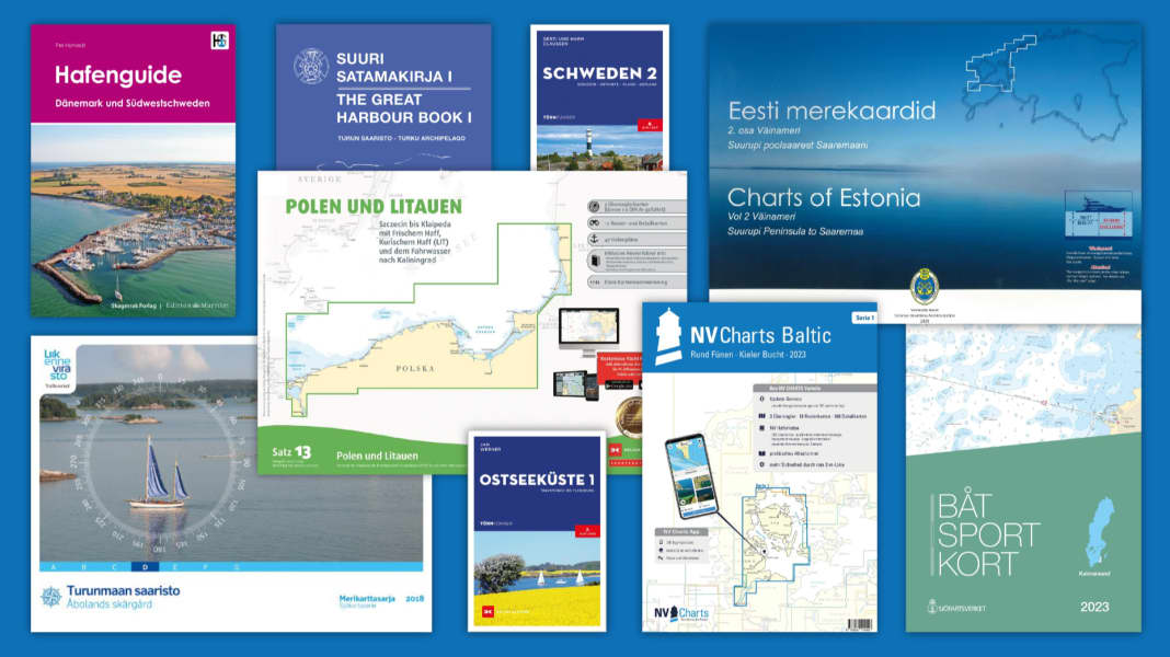
Baltic Sea: Current cruising literature at a glance
Delius Klasing Sport Boat Charts (Baltic Sea)
Germany
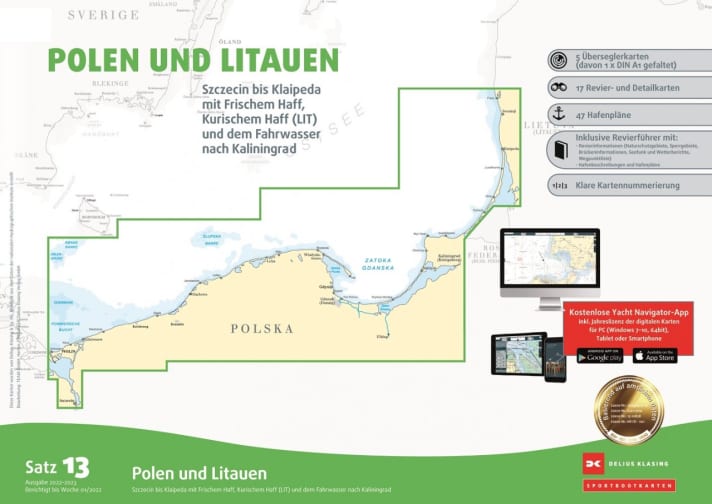
The offer from Delius Klasing includes eight sets of maps of the Baltic Sea, shown here is set 13 "Poland and Lithuania". Sets 11 and 12 are the only ones currently available that also include the Swedish island of Gotland. All sets consist of loose, double-sided printed individual maps in A2 format (60 x 42 cm) and come in a robust transparent cover. Each comes with a stapled area guide with harbour plans. The price depends on the set (and number of sheets)between 74,90 and 139,90 € >> available here.
NV Charts
Germany
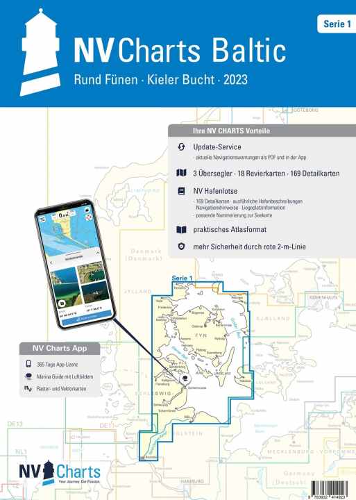
For the Baltic Sea, NV Charts offers a total of seven sets of pleasure craft charts (1 to 6; set 5 for the Swedish west coast is divided into two parts). Set 1 "Round Funen - Bay of Kiel" is illustrated. The charts are stapled in A3 format, so that a double page corresponds to A2 format, or are also available as a set of loose single sheets (A2), which are stored in a transparent bag. Depending on the set, a set costsbetween 69,90 and 94,99 € >> available here .
Sjöfartsverket
Sweden
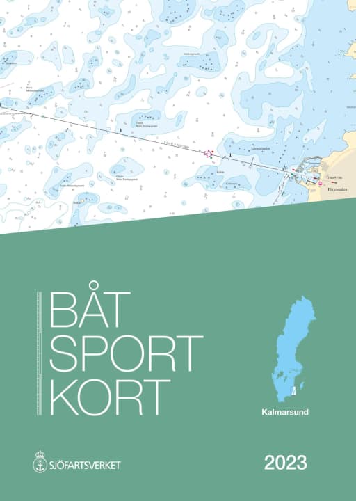
There are sixteen official recreational craft chart sets for Swedish coastal and inland waters from the waterways authority Sjöfartsverket. All are 30 x 42 cm in size and spiral-bound. Here is the new 2023 Baltic Sea set "Kalmarsund. Västervik-Bergkvara", newly issued in 2023. Price per set:78 €. Purchase via the specialised nautical trade.
Liikennevirasto / Veetede Amet
Finland / Estonia
Both Finland and Estonia continue to publish official spiral-bound recreational craft charts, the only ones available for these areas of the Baltic Sea. In Finland there are seven: A to G, price per set:58 €.
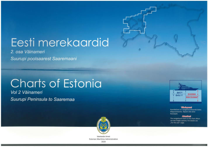
Estonia's coastline is divided into three sets: 1 to 3, shown below is set 2 "Väinameri. Suurupi Peninsula to Saaremaa" (Estonian Archipelago), price per set:85 €. Purchase via the specialised nautical trade.
Delius Klasing Cruising Guide (Baltic Sea)
Germany
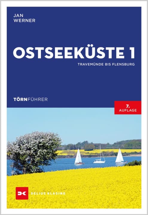
A comprehensive insight into the Baltic Sea area is provided by the cruising guides of the Delius Klasing Publishers. In addition to all the nautical information and route examples, they also contain legal, historical and tourist background information. Colour photos and plans illustrate harbours and sections of the route. They are regularly updated and are the only ones available in German on the destination. Two volumes have been published on the coasts of Germany (illustrated is "Ostseeküste 1, Travemünde bis Flensburg"), Denmark and Sweden. (Format 16.8 x 24.1 cm, pages around 250 depending on the volume, paperback, price per volume:39,90 €) >> available here.
Skagerrak Forlag harbour guide
Norway
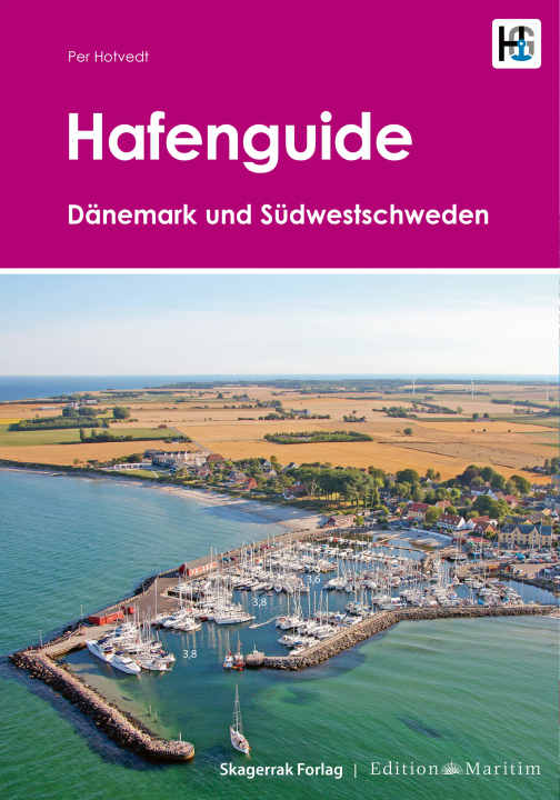
The practical standard works on the Baltic Sea also include the corresponding six volumes from the harbour guide series published by the Norwegian Skaggerak Forlag. They cover the German, Danish and Polish coasts as well as a large part of the Swedish coast. Harbours and moorings are clearly described with texts, aerial photographs and harbour plans. (Format 23.5 x 33 cm, spiral-bound, multilingual depending on the area, price depending on the volume:69,90 €). Pictured is the "Harbour Guide Denmark and Southwest Sweden" (this volume also has German texts).
Suuri Satamakirja harbour guide
Finland
The most comprehensive guide to harbours and mooring options along the Finnish (and neighbouring) coasts is the harbour guide published by the Suuri Satamakirja series. Five volumes are now available, each with information, plans and aerial photographs (A4 format, spiral bound, texts in Finnish and English, the price depending on the size of a volume is from €65), as well as some additional publications. Pictured is volume 1 "Turun Saaristo - Turku Archipelago" (Turku Archipelago). Order via the specialised nautical trade.
